
NASA Arizona Space Grant Science Writing Intern Story – Digital terrain models zero in on Martian surface
Picture soaring over a rugged canyon on another world, strapped into an imaginary hang glider. Or getting a bird’s eye view of craters that stretch on for miles and following along the same paths as the robotic rovers that have explored the surface of Mars. All of this is possible – virtually – thanks to specialists at the University of Arizona’s Lunar and Planetary Laboratory.
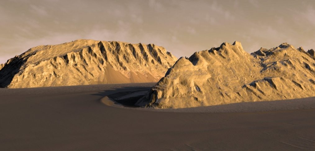
A team at the Lunar and Planetary Laboratory has created realistic terrain models of Mars’ surface using specialized software and high-resolution images taken from space. Known as digital terrain models, or DTMs, these renderings allow mission planners to examine landing sites for landers and rovers and scout routes across the alien terrain, laying the groundwork for ongoing and future Mars exploration campaigns.
Read the full article on the University of Arizona News Page.
Author Credit: Penny Duran, NASA Space Grant Science Writing Intern, University Communications
Image Credit: Kevin Gill, JPL-Caltech